
—–
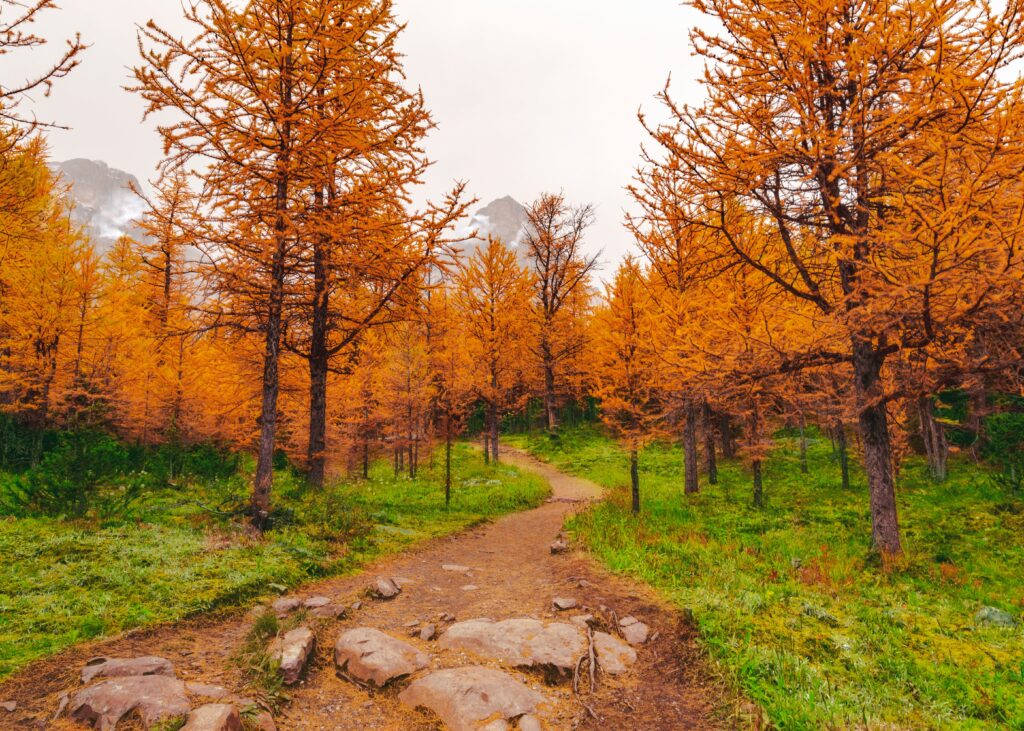
Manitoba is home to one of the most diverse and underrated stretches of the longest recreational trail network in the world. The Trans-Canada Trail — also known as The Great Trail — winds over 1,200 kilometres across the southern half of the province, passing through boreal forests, river valleys, prairies, provincial parks, and small historic communities.
Whether you’re lacing up your boots for a 4 km family walk or planning a multi-day backcountry adventure, the Trans-Canada Trail Manitoba has something for every level of hiker. Here’s everything you need to know before you hit the trail.
Disclosure: This post contains affiliate links.
What Is the Trans-Canada Trail?
The Trans-Canada Trail (TCT) is the longest multi-use recreational trail network in the world, stretching over 28,000 kilometres from the Atlantic to the Pacific to the Arctic Ocean. It’s used for hiking, cycling, cross-country skiing, snowshoeing, and canoeing depending on the season and section.
In Manitoba, the trail was officially connected province-wide, making it the seventh province or territory in Canada to achieve a fully connected path. That’s a big deal — and it means you can explore it with confidence knowing the route is established and mapped.
How the Great Trail Crosses Manitoba
The Manitoba section of the TCT is remarkably varied. According to Travel Manitoba, the trail enters the province at the Ontario border and travels through Canadian Shield terrain in Whiteshell Provincial Park, then northwest through Pinawa to Grand Beach. From there it heads south through the Red River Valley, passing through Selkirk, Winnipeg, and St. Malo, all the way to Emerson at the Canada-US border. It then turns west through Spruce Woods Provincial Park, crosses the Assiniboine River Delta, and continues through Neepawa, Russell, and Roblin, passing through Duck Mountain Provincial Forest before reaching the Saskatchewan border.
That’s boreal forest, prairie, river delta, and Canadian Shield — all in one province.
The Best Sections of the Trans-Canada Trail in Manitoba
1. Centennial Trail — Whiteshell Provincial Park ⭐ Most Scenic
Distance: 35 km (21.9 miles), Difficulty: Moderate, Time: Full day or overnight
This is arguably the crown jewel of TCT Manitoba sections. The Centennial Section winds through stunning Canadian Shield terrain with granite outcrops, beaver ponds, boreal forest, and some of the most dramatic scenery in the province.
> “Beautiful trail — no water access on the trail, bring what you need.”
> AllTrails reviewer
What to expect: Rocky terrain, tree roots, some muddy or flooded sections after rain. Bring waterproof boots. This trail is best April through October.
Pro tip: Park at the PR307 access point. No water sources on trail — pack at least 2 litres per person.
2. The Crow Wing Trail — Winnipeg to Emerson
Distance: ~193 km, Difficulty: Easy to Moderate, Best for: Multi-day, cycling, or section hiking
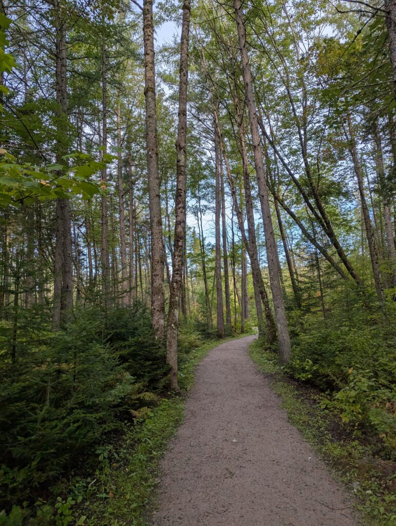
This is the longest section of the Trans-Canada Trail Manitoba and one of the most historically rich. The Crow Wing Trail follows the path of the old Red River Ox-Cart Trail used by Métis traders in the 1800s, connecting Winnipeg to Emerson near the US border.
The route passes through Saint Adolphe, Niverville, Otterburne, St. Pierre-Jolys, Saint Malo, and Roseau River First Nation. It’s been designated the Chemin St. Paul — a Canadian Camino — making it a meaningful journey as much as a physical one.
What to expect: A mix of gravel roads, dirt paths, dike routes, and community park trails. Split into 11 sections ranging from 6 to 28 km — perfect for doing one section at a time.
Gear note: This trail is ideal for hybrid hiking/cycling. Many people hike the scenic sections and bike the dike stretches.
3. Pinawa Channel Heritage Walk — Pinawa
Distance: ~4 km (Ironwood Trail section), Difficulty: Easy, Best for: Beginners, families, wheelchair-accessible
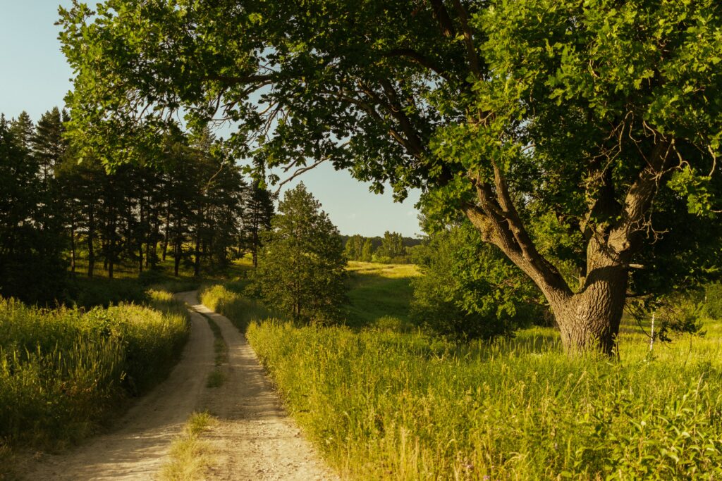
Pinawa is a hidden gem on the TCT Manitoba hiking trails. The Ironwood Trail is a scenic 4 km section that is wheelchair and stroller accessible, with interpretive signage throughout. The famous Pinawa Suspension Bridge is a highlight, and the trail connects to the Pinawa Golf and Country Club.
Pro tip: Pinawa charges tourist parking fees in summer. Turn right at the Cemetery sign before the suspension bridge to find free alternative parking.

4. Stanley Trail — Assiniboine Delta & Pembina Hills
Distance: 10.8 km (6.7 miles), Difficulty: Moderate, Time: 2.5–3 hours
This beautiful section runs along a creek valley and is popular for birding, wildflowers, and peaceful solitude. Reviewers love the shade on hot days.
Important heads up: Some bridges on this section are out — bring trekking poles for stream crossings and watch for ticks in tall grass. Best visited September through October.
5. Duck Mountain Provincial Forest — Western Manitoba
Distance: Multiple sections, Difficulty: Moderate, Best for: Wildlife spotting, mixed terrain
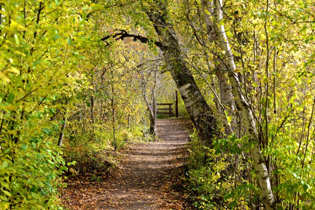
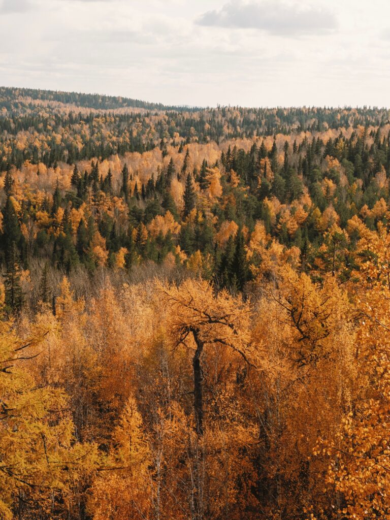
This western stretch of the TCTManitoba sectio passes through dense boreal forest near the Saskatchewan border. Wildlife sightings are common — moose, deer, and a wide variety of birds. If you love remote, off-the-beaten-path hiking, this section delivers.
Essential Gear for Hiking the Trans-Canada Trail in Manitoba
One thing every experienced TCT hiker will tell you: Manitoba’s trail conditions can change fast. Mud, flooded sections, blown-down trees, bugs, and unpredictable weather are all real. Being prepared isn’t optional — it’s what separates a great day on the trail from a miserable one.
Here’s what we recommend bringing:
Hiking Boots (Waterproof)
Manitoba trails — especially in Whiteshell — involve wet terrain, beaver crossings, and uneven rock. You need ankle support and waterproofing.
👉 Recommend: Merrell Moab 3 Waterproof Hiking Boots — check price
Daypack (20–30L)
For day hikes on the TCT, a 20–30L pack is the sweet spot — enough room for water, snacks, rain gear, and a first aid kit without weighing you down.
👉 Recommend: Osprey Talon 22 Daypack — check price
Water Filter or Purification Tablets
There is no water access on several TCT sections in Manitoba, including the Centennial Trail. A portable water filter is a must for any hike over 2–3 hours.
👉 Recommend: Sawyer Squeeze Water Filter — check price
Bug Protection (Manitoba-Grade)
Let’s be honest — Manitoba mosquitoes are in a league of their own. From late May through August, you will get eaten alive without proper protection. This is non-negotiable.
👉 Recommend: Ben’s Insect Repellent for mosquitoes, ticks and more — check price
👉 Recommend: Headnet Bug Hat — check price
Trekking Poles
Multiple Great Trail Manitoba reviewers specifically mention using trekking poles for stream crossings and rocky terrain, especially on the Centennial and Stanley sections.
👉 Recommend: The Fit Life Trail Cork Trekking Poles — check price
Sun Protection
Manitoba’s prairies and open trail sections offer little shade. A wide-brim hat and SPF 50 sunscreen are essential from June through August.
👉 Recommend: Sunday Afternoons Ultra Adventure Hat
First Aid Kit
Always. Every hike. No exceptions.
👉 Recommend: Adventure Medical Kits Ultralight/Watertight Kit — check price
Navigation (AllTrails Pro or Paper Map)
If you are planning to hike any of the Manitoba hiking trails; Download the AllTrails app to have the maps before you go — cell service disappears quickly on the Whiteshell and Duck Mountain sections.
Free tip: The Trans-Canada Trail has its own app at tctrail.ca with official trail maps for every province.
Tips for Planning Your Trans-Canada Trail Hike in Manitoba
– Best season: Late May through early October. Peak conditions are July–August, but bugs peak then too.
– Start small: The Pinawa and Crow Wing day sections are perfect for first-timers before tackling the Centennial Section.
– Tell someone your plan: Cell service is unreliable in thr Great Trail Manitoba in the Whiteshell and Duck Mountain sections.
– Ticks are real: Check yourself thoroughly after hiking in tall grass, especially on the Stanley Trail.
– Multi-day hiking: The Crow Wing Trail is Manitoba’s best option for a multi-day self-supported journey — plan accommodation in the small communities along the route.
Is the Trans-Canada Trail in Manitoba Worth It?
Absolutely. What makes the Great Trail Manitoba special isn’t one dramatic viewpoint or a famous summit — it’s the variety. In a single province you can walk ancient Indigenous trade routes, paddle-flat river valleys, scramble granite Shield outcrops, and stand at the edge of the Canadian prairies.
It’s one of Canada’s best-kept outdoor secrets. And you have it practically in your backyard.
Final Checklist Before You Go
– ✅ Waterproof hiking boots
– ✅ 20–30L daypack
– ✅ Water filter + 2L minimum water
– ✅ Bug repellent + headnet
– ✅ Trekking poles
– ✅ Sun hat + sunscreen
– ✅ First aid kit
– ✅ Offline trail maps downloaded
– ✅ Someone knows your plan
Have you hiked any of the TCT Manitoba sections? We’d love to hear about your experience. Drop your tips in the comments below!
(Wait — comments are disabled on this site to keep things clean. But you can always reach us through the Contact page!)
—–
Related articles: